Kings Canyon National Park: 1st Time Visitor Guide
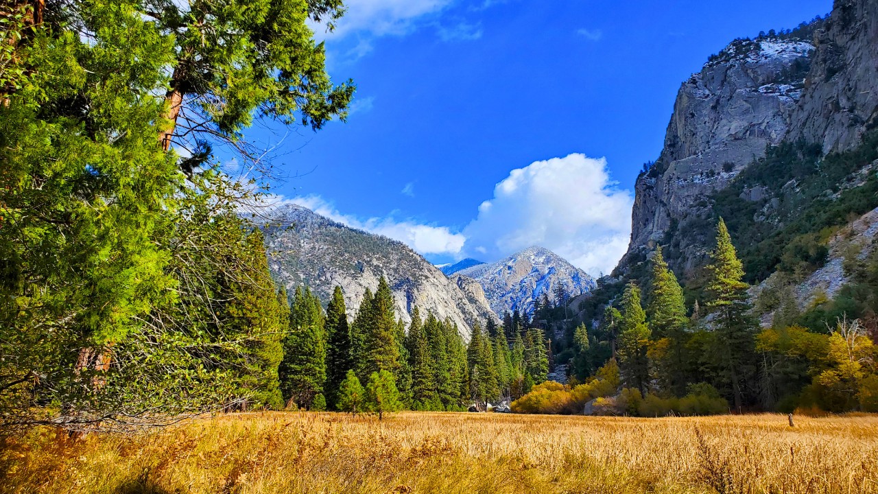
Kings Canyon National Park is a jaw dropping blend of towering cliffs, giant sequoia trees, alpine meadows, and glacially-carved valleys. Often overshadowed by its more famous neighbor, Yosemite, Kings Canyon offers just as much natural beauty without the crowds. I visited this place without too much expectation but was floored by it’s beauty and I know you will be too. Whether you’re planning a weekend escape or a full week of hiking and exploring, this first-time visitor guide will help you make the most of your journey.
Overview
Kings Canyon National Park protects one of the deepest canyons in North America, deeper even than the Grand Canyon in places. Managed jointly with neighboring Sequoia National Park, the region is home to dramatic terrain, high mountain peaks, ancient forests, and rushing rivers. From scenic drives to backcountry adventures, it’s a paradise for hikers, nature lovers, and road trippers.
- Location: Central California, east of Fresno
- Size: 461,901 acres
- Famous For: Kings Canyon, General Grant Tree, alpine lakes, rugged backcountry trails
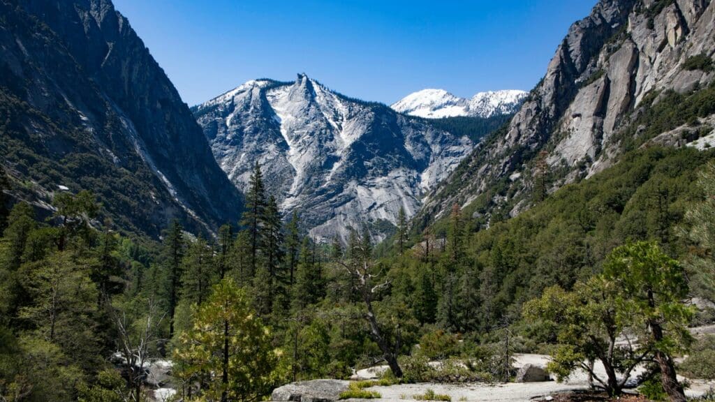
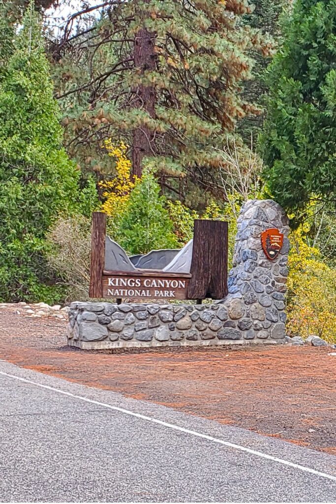
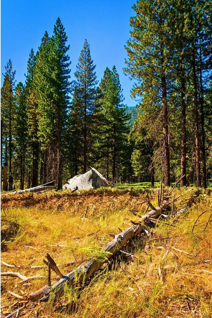
Photos

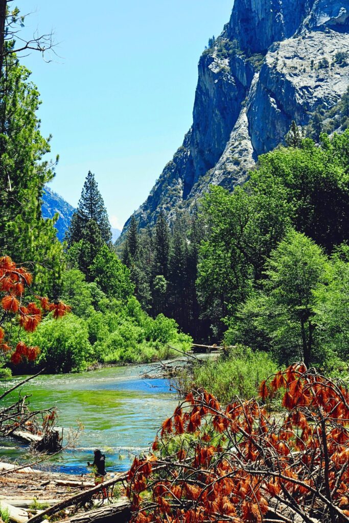
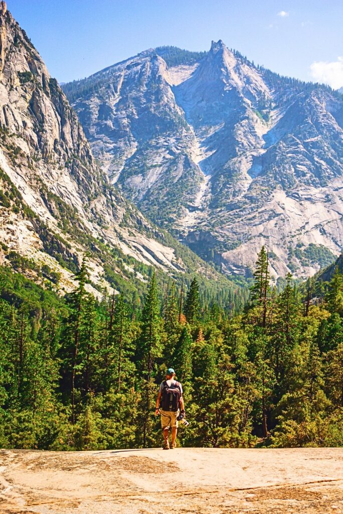


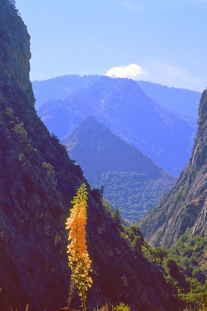
How to Get There
By Car:
- From Fresno: Take CA-180 E for about 1.5 hours (60 miles) to reach the Big Stump entrance.
- From Los Angeles: Approximately 4.5 hours via I-5 and CA-99 to Fresno, then CA-180 E.
- From San Francisco: About 5 hours via I-580 and CA-99 to Fresno.
Airports Nearby:
- Fresno Yosemite International Airport (FAT) – 1.5 hours away
- LAX or SFO – For longer trips, connect via Fresno
Important: GPS can be unreliable in the park, download offline maps in advance.
Best Times to Visit
- Late Spring (May–June): Waterfalls are full, wildflowers bloom, and trails begin to open.
- Summer (July–September): Best weather for hiking and access to higher elevations.
- Fall (October): Fewer crowds and golden foliage, but limited services as snow may begin.
- Winter: Grant Grove remains open, but most of Kings Canyon closes due to snow.
Pro Tip: The Cedar Grove area (deep inside the canyon) is typically only open from late April to mid-November due to snow.
10 Best Things to Do
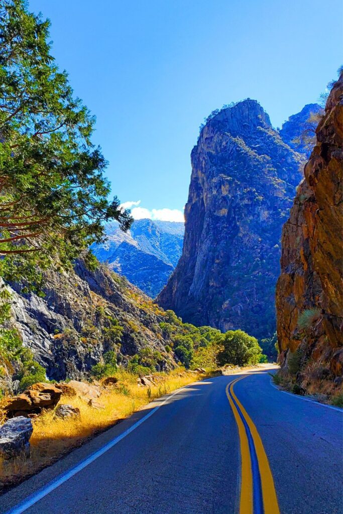
- Drive the Kings Canyon Scenic Byway: One of the most beautiful drives in northern California, this 30-mile route offers dramatic views of cliffs, canyons, and rivers.
- Visit General Grant Tree: Located in Grant Grove, this 267 foot high tree is the second largest tree in the world, and the Nation’s Christmas Tree.
- Explore Zumwalt Meadow: A peaceful, easy trail with boardwalks and views of the canyon walls and river. This area looks a lot like Yosemite Valley.
- Hike Mist Falls Trail: A moderate 9-mile round-trip hike with stunning waterfalls and mountain views.
- Roaring River Falls: An easy, paved walk to a powerful waterfall, a great stop for families.
- Panoramic Point: A short hike to a stunning overlook of the High Sierra.
- Marvel at Boyden Cavern: Take a guided tour through a marble cavern beneath the cliffs of the Kings Canyon.
- Stargazing in Cedar Grove: With little light pollution, this is one of California’s best places for watching the night sky.
- Watch for Wildlife: Deer, marmots, black bears, and even bighorn sheep can be spotted.
- Picnic by the Kings River: Pull off at a quiet riverside picnic spot and soak in the canyon’s silence and grandeur.
On top of these amazing activities, I also recommend this Tripadvisor page on Kings Canyon (and Sequoia National Park) for even more awesome ideas on what to see.
5 Hidden Gems
- Redwood Canyon: The largest sequoia grove in the park, but far less crowded than Grant Grove.
- Marvin Pass Trailhead: A quiet, scenic hike leading into lesser-traveled backcountry.
- Hotel Creek Trail: Offers spectacular views of the canyon from above—rarely trafficked.
- Lookout Peak: Challenging but uncrowded summit hike with breathtaking panoramas.
- Converse Basin Grove: See the massive Boole Tree and explore a more remote forest.
1–5 Day Sample Itinerary
Day 1:
- Enter via Grant Grove
- Visit General Grant Tree
- Hike Panoramic Point
- Stay in Grant Grove area
Day 2:
- Drive Kings Canyon Scenic Byway
- Stop at Roaring River Falls & Grizzly Falls
- Hike Zumwalt Meadow
- Camp or stay in Cedar Grove
Day 3:
- Hike Mist Falls Trail
- Picnic by the river
- Evening stargazing
Day 4 (Optional):
- Visit Boyden Cavern
- Hike Hotel Creek Trail for a bird’s-eye view
- Explore hidden trails in Redwood Canyon
Day 5 (Optional):
- Sunrise at Panoramic Point
- Leisurely breakfast
- Begin drive out with optional detour to Sequoia National Park
Packing List
For the majority of items listed here, you can get them on my Amazon gear store:
- Layered clothing (temps vary by elevation)
- Sturdy hiking boots
- Daypack with hydration system
- National Park Pass, America the Beautiful Pass or cash for entrance
- Sunscreen, hat, and sunglasses
- Bear-proof food container (for backpacking)
- Offline maps/GPS
- Flashlight or headlamp
- Camera or smartphone
- Insect repellent (especially in summer)
Where to Stay
Check hotels close to Kings Canyon National Park
Things to Know Before You Go
- Park Fees: $35 per vehicle, good for 7 days (or use an America the Beautiful Pass)
- No Cell Signal: Be prepared to be off-grid
- Wildlife: Store food properly, bears are active here
- Road Closures: Cedar Grove area is seasonal, check NPS updates before visiting
- Limited Services: Fuel, groceries, and supplies are limited, stock up in Fresno
- Pets: Not allowed on most trails
- Weather: Varies greatly by elevation, check ahead
Related
Final Thoughts
Kings Canyon National Park is in my opinion one of California’s best kept secrets and that’s because it’s lodged in between 2 of the most popular national parks in the state. Whether you’re here for a day or five, the park rewards every traveler with solitude, scenery, and soul-stirring beauty. Use this guide to uncover both the famous and the hidden, and you’ll leave knowing you’ve experienced a truly special place.

Maybe it got to spam..no idea..I sent two. Thanks so much for reply here! Warmest wishes for continued success!
Hello Vitaliy…
Kudos to you!
Truly Superb!
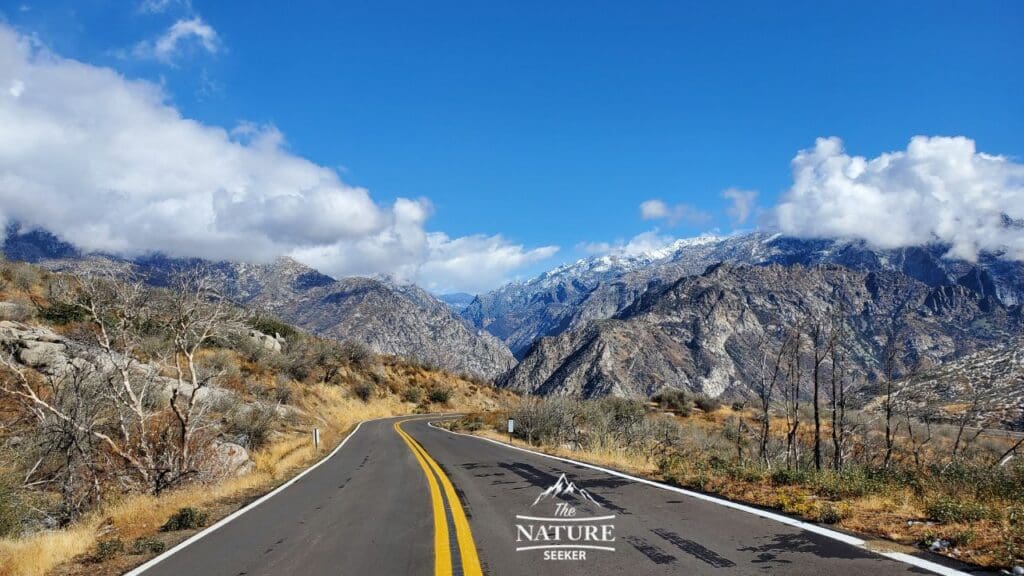
I actually tried reaching out via email several times..no response..so i will try here..if you can please advise the location for this picture. Thanks so much in advance for kind reply!
Hi there not sure why I didn’t get your email. That’s just the Kings Canyon Scenic Byway, a bit more accurately the area where you start to descent into the Canyon itself. It’s hard to miss when you’re on this drive.