Big Sur California: 1st Time Visitor Guide
Big Sur California is one of the most awe-inspiring coastal regions in the United States. Stretching along the rugged cliffs of Highway 1 between Carmel and San Simeon, this iconic destination combines redwood forests, crashing surf, dramatic overlooks, and a sense of untamed beauty that draws travelers from around the world. If it’s your first time visiting, this guide will help you plan a trip that hits the highlights, uncovers a few hidden gems, and gives you everything you need to know before you go.
Overview
Big Sur isn’t a town but a stretch of California’s central coast, known for its raw and remote beauty. With no major cities in the area, cell service is spotty and development is limited—but that’s part of its charm. Expect winding roads, coastal trails, sea cliffs, misty forests, and jaw-dropping views nearly everywhere you go.
- Location: Central California, along Highway 1 between Carmel-by-the-Sea and San Simeon
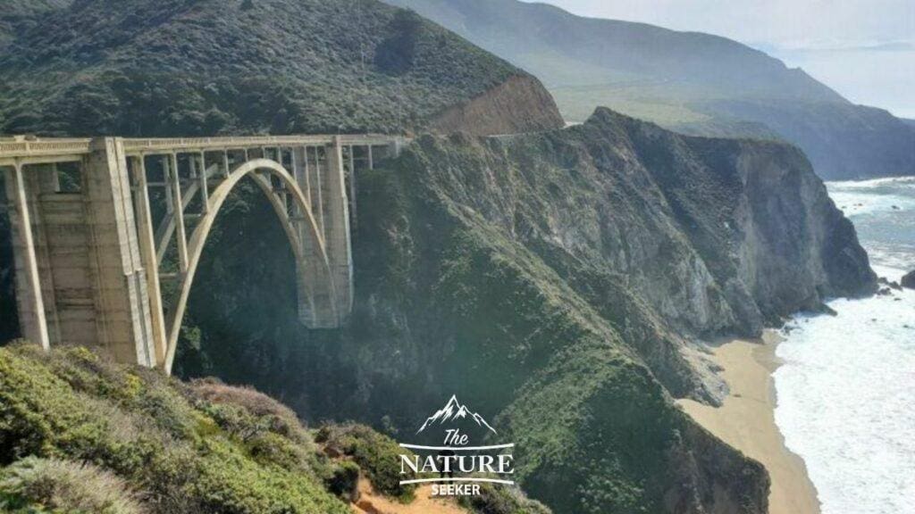
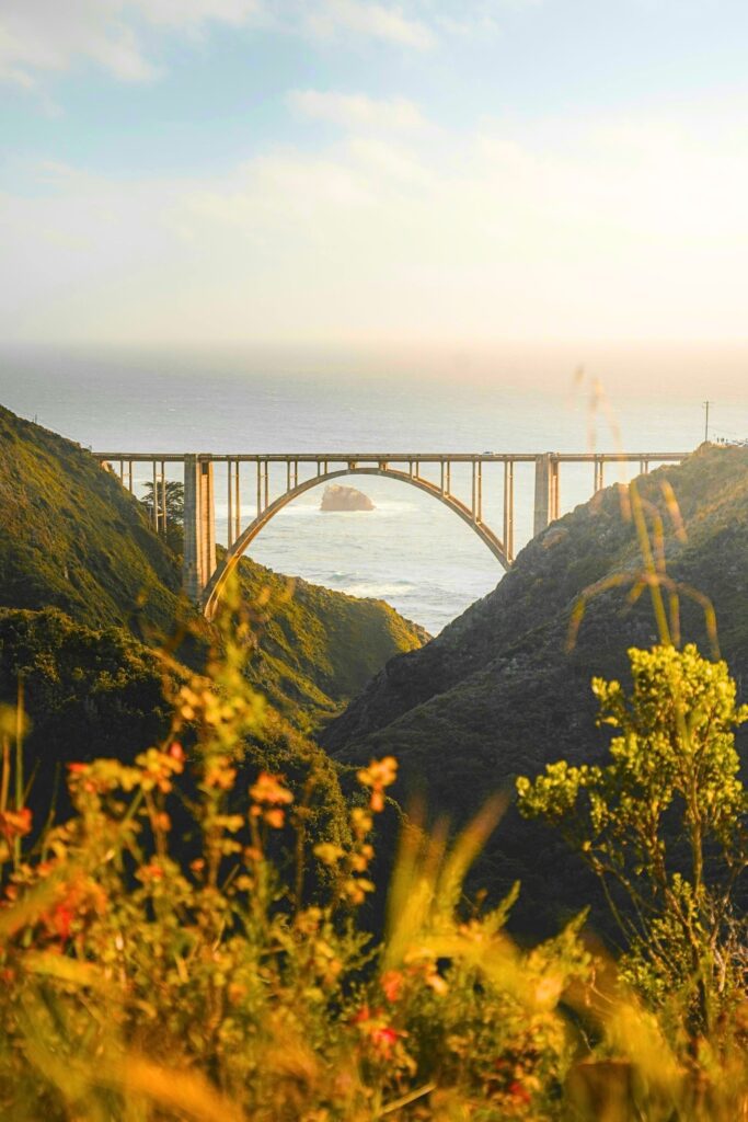
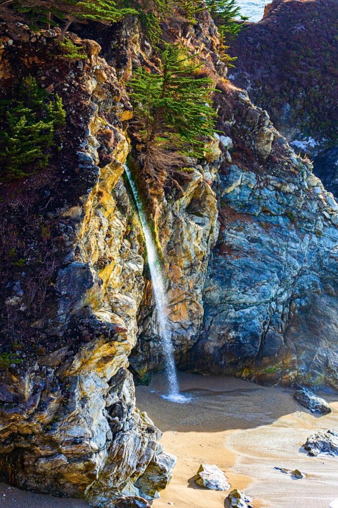
- Famous For: Bixby Creek Bridge, McWay Falls, redwoods, scenic Highway 1 drives
- Known Vibes: Coastal wilderness, off-grid, unplugged, surreal scenery
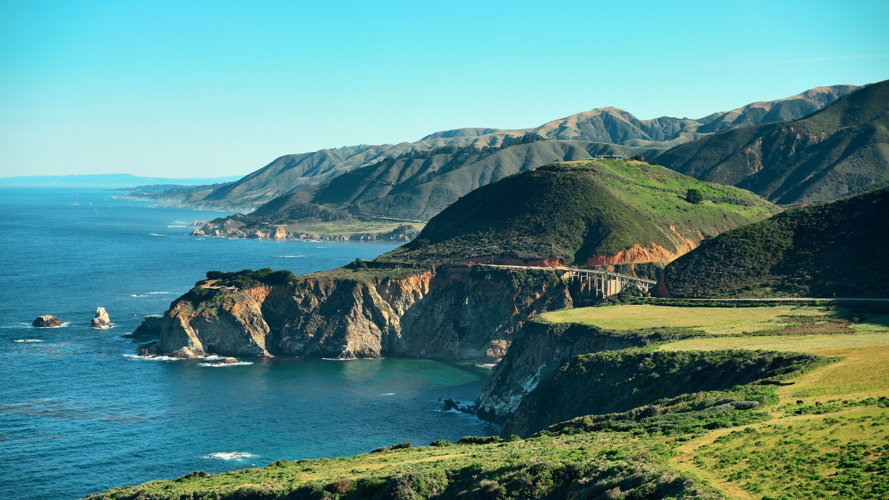
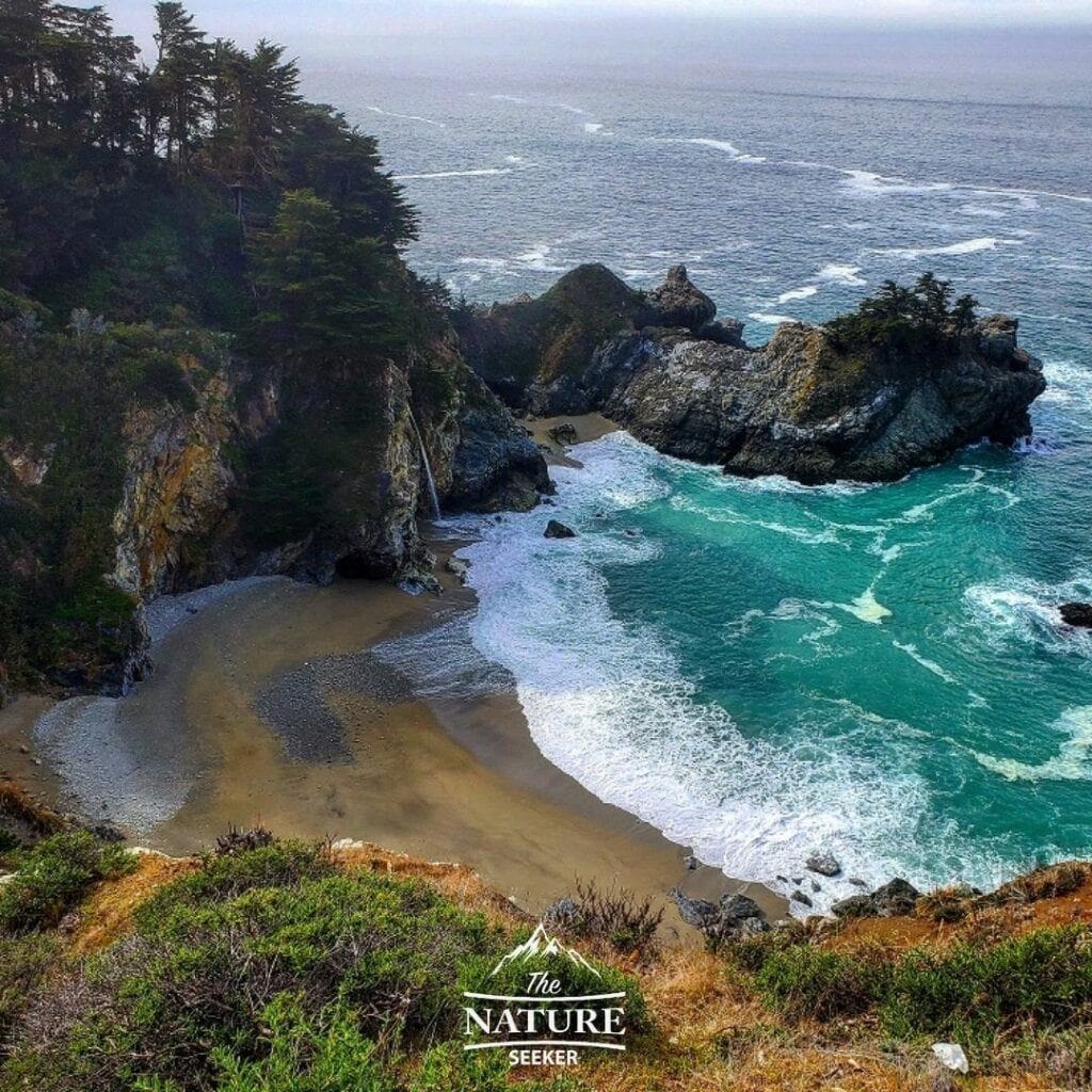
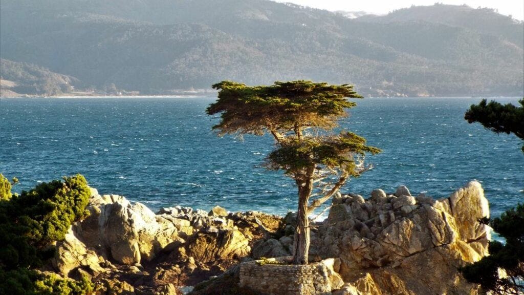
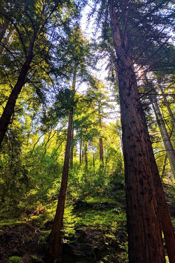
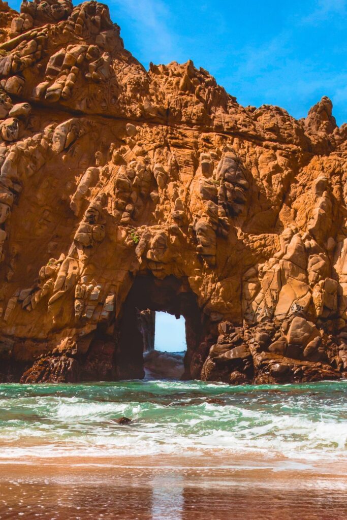
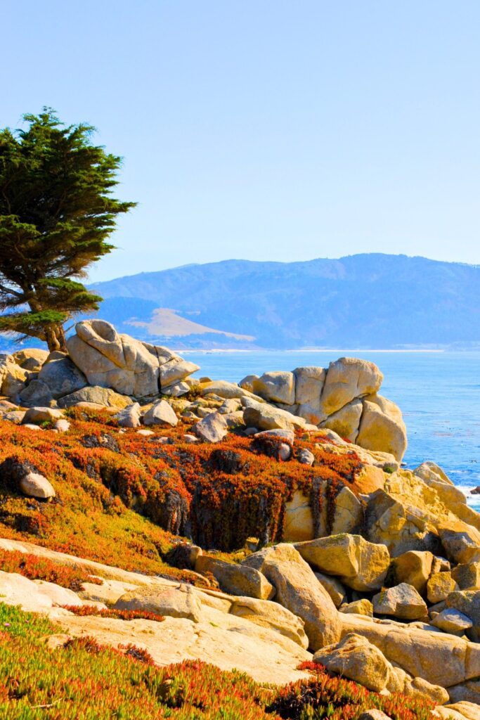
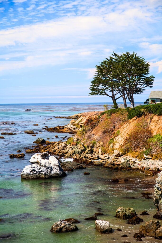
Photos

How to Get There
- From the North: Drive south from Monterey or Carmel along Highway 1. The route is scenic but winding.
- From the South: Come up from San Luis Obispo or Cambria via Highway 1. This section includes Ragged Point and elephant seals near San Simeon.
Airports Nearby:
- Monterey Regional Airport (MRY): Closest for northern access
- San Jose International (SJC): About 2.5 hours north
- San Luis Obispo (SBP): Best for southern access
Tip: Rent a car. There’s no public transportation through Big Sur, and most scenic spots require a vehicle.
Best Times to Visit
- Spring (March–May): Wildflowers, waterfalls, and moderate crowds
- Summer (June–August): Best weather, but busiest season
- Fall (September–October): Fewer crowds, warm days, and golden light
- Winter (November–February): Quiet, moody, and scenic, but can bring road closures from storms
10 Best Things to Do in Big Sur California
Among these 10 awesome spots, I also highly recommend checking out this Tripadvisor page on Big Sur California to see even more amazing ideas:
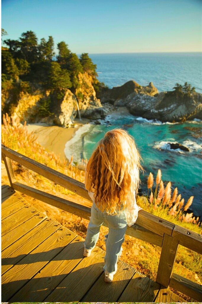
- See McWay Falls – One of the only waterfalls that empties directly into the Pacific Ocean. Mcway Falls is one of the most photogenic spots in all of Big Sur California.
- Drive Bixby Creek Bridge – The most photographed bridge in California!
- Explore Julia Pfeiffer Burns State Park – Redwood trees, ocean views, and easy trails.
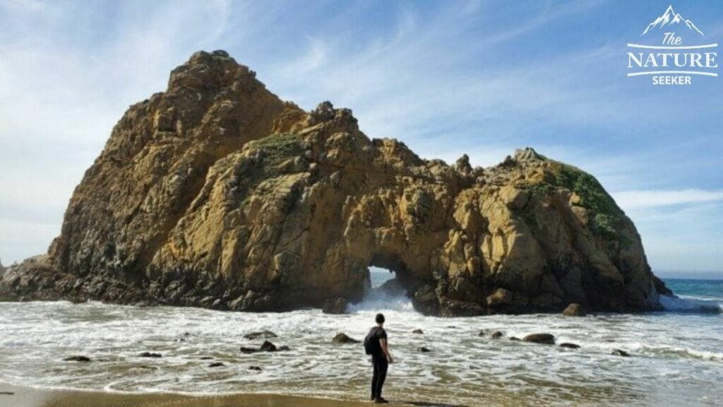
- Relax at Pfeiffer Beach – Known for its purple sand and rugged rock formations. Pfeiffer beach is also one of the most photographed areas during sunset!
- Visit Point Sur Lighthouse – Tour a historic lighthouse perched on a volcanic rock.
- Hike in Garrapata State Park – Hidden trails and dramatic ocean views.
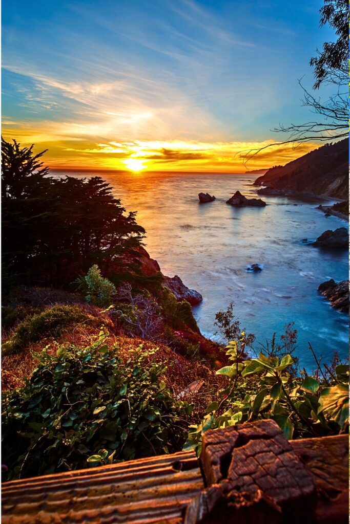
- Watch Sunset at Nepenthe – An iconic Big Sur restaurant with a stunning cliffside patio.
- Photograph Calla Lily Valley (seasonal) – A lush coastal canyon blooming in spring.
- Visit Henry Miller Memorial Library – A quirky bookstore and cultural stop.
- Enjoy Hot Springs (Esalen Institute) – Soak in natural hot springs perched above the ocean (advance reservations required).
Best Hikes (Beginner to Advanced)
Beginner:
- McWay Falls Overlook Trail (0.5 miles) – Easy, iconic, and a must-see.
- Bluffs Trail at Garrapata State Park (1.2 miles) – Ocean cliffs, flowers, and seals.
Intermediate:
- Buzzard’s Roost Trail (3 miles RT) – Redwoods and panoramic ocean views.
- Limekiln Falls Trail (1.5 miles RT) – Short forest walk to a beautiful waterfall.
Advanced:
- Tanbark Trail to Tin House (6 miles RT) – Steep climb, ruins, and epic coastal views.
- Cone Peak Trail (10 miles RT) – One of the highest coastal peaks in the lower 48.
Hidden Gems
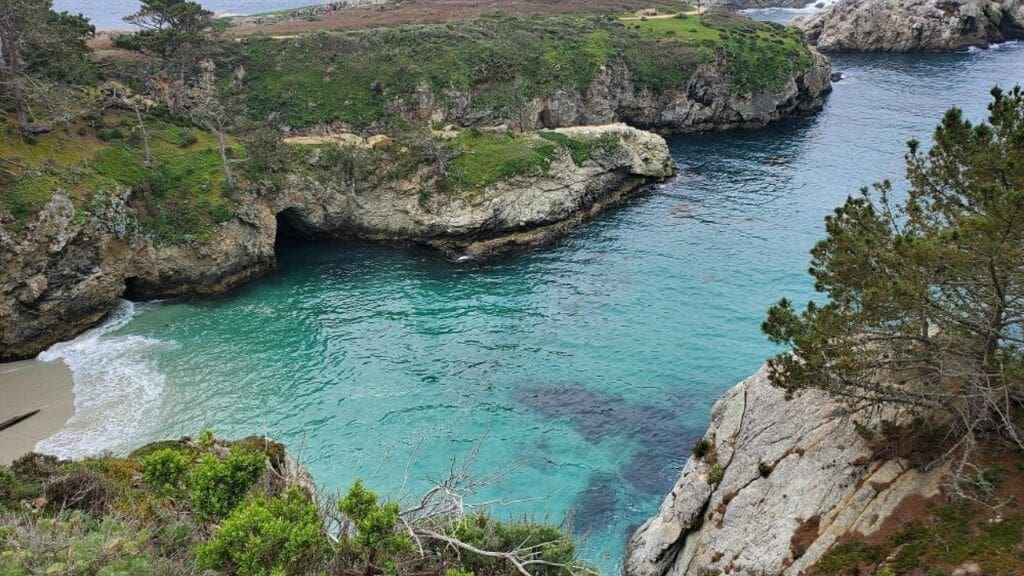
- Partington Cove: A short trail through a tunnel to secret ocean coves.
- Tin House Ruins: Abandoned WWII-era structure with sweeping views.
- Cliffside Trail at Ragged Point: Steep descent to a remote black sand beach.
- Calla Lily Valley: Near Garrapata Beach, blooms in late winter/spring.
- Pfeiffer Ridge Road Viewpoints: Quiet alternative to the main highway pullouts.
Packing List
You can get a majority of the items on this list via my Amazon gear store:
- Layers (it can be hot in the sun, cool in the shade)
- Comfortable hiking shoes
- Reusable water bottle
- Snacks and meals (services are limited)
- Camera or phone with storage
- Sunscreen and hat
- Swimsuit (for hot springs or beach lounging)
- Daypack
- Map or offline GPS (cell service is limited)
Sample Itinerary (1–5 Days)
Day 1:
- Arrive via Carmel or San Simeon
- Visit Bixby Bridge and Garrapata State Park
- Sunset dinner at Nepenthe
Day 2:
- Hike McWay Falls and explore Julia Pfeiffer Burns State Park
- Afternoon at Pfeiffer Beach
- Stargazing or night soak at Esalen Institute
Day 3:
- Hike Limekiln Falls or Tanbark Trail
- Explore Partington Cove
- Visit Henry Miller Library and grab coffee nearby
Day 4:
- Drive south to Ragged Point
- Hike the Cliffside Trail to the black sand beach
- Explore San Simeon (Hearst Castle optional)
Day 5:
- Relaxing breakfast
- Optional Point Sur Lighthouse tour
- Scenic drive back with pullouts and photo stops
Where to Stay
Things to Know Before You Go
- Gas up before entering (stations are rare and expensive)
- No cell service in many areas so I’d recommend you download offline maps
- Pack in food/snacks as there’s limited dining options
- Stay alert while driving because there are sharp curves and narrow shoulders
- Check for road closures, especially in winter (Caltrans website)
- Respect nature and stay on trails as erosion is a serious issue here
Related
Final Thoughts
Big Sur California is a place to slow down, unplug, and immerse yourself in coastal wilderness. Whether you’re hiking beneath redwoods, watching sunset over the Pacific, or driving Highway 1’s hairpin turns, every moment here feels cinematic. For first-time visitors, this guide ensures you’ll experience the best Big Sur has to offer, both iconic highlights and secret corners most never find.