Pictured Rocks National Lakeshore: 1st Time Visitor Guide
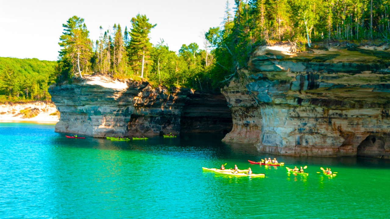
Pictured Rocks National Lakeshore is one of the Midwest’s most stunning natural destinations as well as one of the top places to visit in the Upper Peninsula. Known for its towering multicolored sandstone cliffs, hidden waterfalls, and pristine beaches, this protected lakeshore offers an unforgettable mix of scenic beauty and outdoor adventure. Whether you’re into hiking, paddling, or just relaxing near the water, this guide will help you make the most of your first visit.
Overview
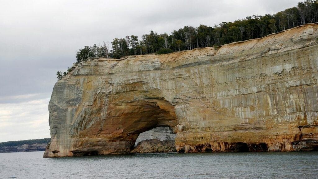
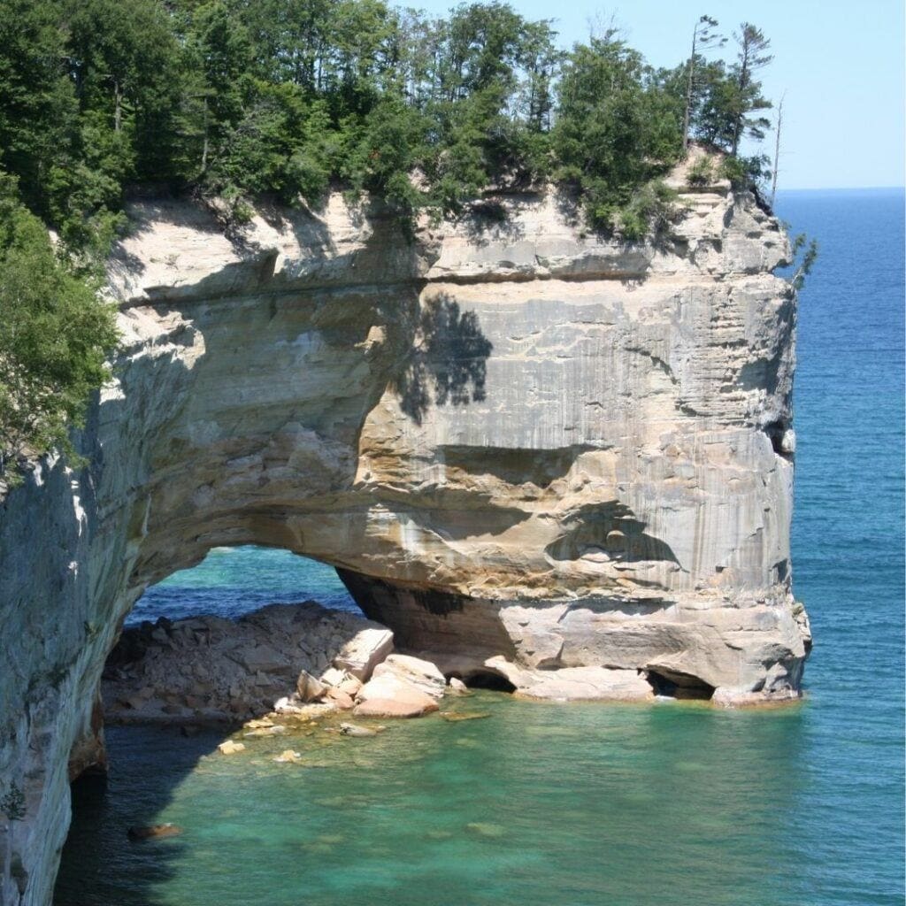
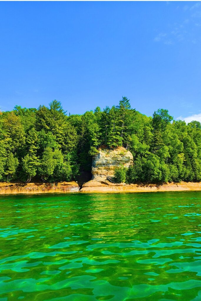
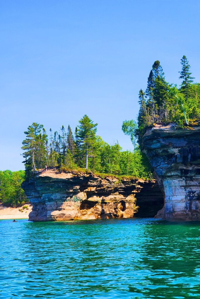
Pictured Rocks was established as the first national lakeshore in the United States in 1966. Spanning nearly 42 miles between the towns of Munising and Grand Marais, the area is famous for its dramatic shoreline, sea caves, dense forests, and colorful rock formations stained by mineral-rich water.
The park is split into three general zones:
- West (Munising area) – Home to many of the most accessible attractions and tours.
- Central (Chapel-Mosquito area) – Best for backcountry hiking and scenic trails.
- East (Grand Marais area) – Quieter, with hidden beaches and dune landscapes.
Photos
How to Get There
By Car: The most common way to access the park is by driving. Munising, the primary gateway, is about:
- 2.5 hours from Marquette, MI
- 5 hours from Green Bay, WI
- 6 hours from Detroit, MI
Nearest Airport: Sawyer International Airport (MQT) near Marquette, MI is the closest regional airport. From there, it’s about a 1.5-hour drive to Munising.
Rental Cars: Highly recommended, especially if you plan to explore the park thoroughly or visit nearby towns.
Best Times to Visit
- Late Spring (May – early June): Waterfalls are full, fewer crowds, but some trails may still be muddy.
- Summer (June – August): Ideal for kayaking, hiking, and boat tours. Expect crowds.
- Fall (mid-September – early October): Stunning fall foliage, fewer people, crisp air.
- Winter (December – March): Snowshoeing and ice climbing opportunities, but many facilities and trails are inaccessible.
10 Best Things to Do
On top of the following things to do here, I’d recommend checking out this Tripadvisor page on Pictured Rocks to see other top recommendations from visitors:
- Pictured Rocks Boat Tour: One of the best ways to see the famous cliffs is from the water. Popular tours like these depart from Munising and last around 2.5 hours.
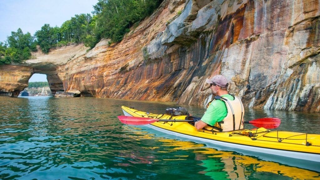
- Kayaking Along the Cliffs: For an immersive experience, paddle beneath arches and into caves. You can only do this via guided tours. The most popular option is Kayak Pictured Rocks.
- Rent a pontoon: A pontoon boat is another option I highly recommend. I rented from this place and loved it. Rental time spans for 4 hours or longer and this was easily the most flexible. No need for guided tours or waiting for others. You can boat anywhere in Pictured Rocks with this option and come back when you’re ready.
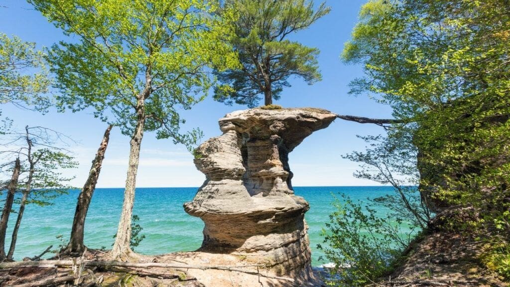
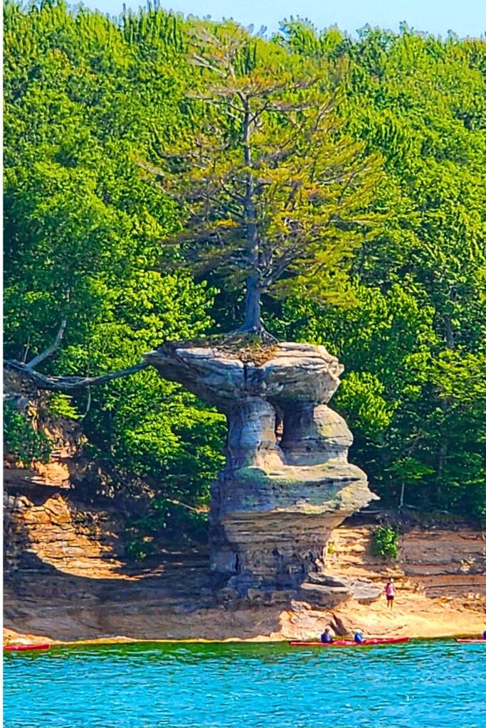
- Hike Chapel Loop Trail: A 10-mile scenic loop featuring Chapel Rock, Chapel Beach, and cliffside views of Lake Superior.
- See Munising Falls: A short, easy walk leads to this 50-foot cascade near the visitor center.
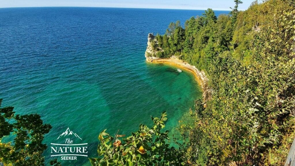
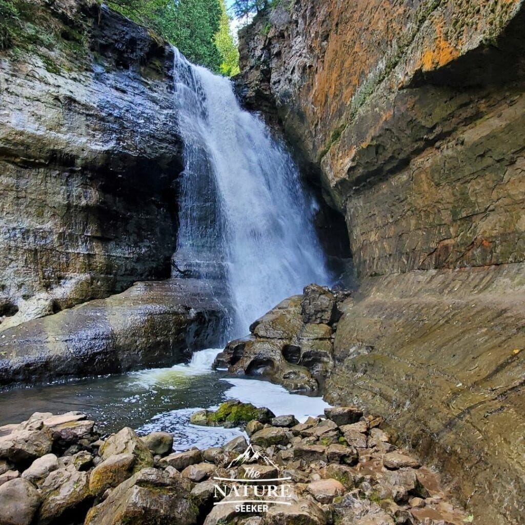
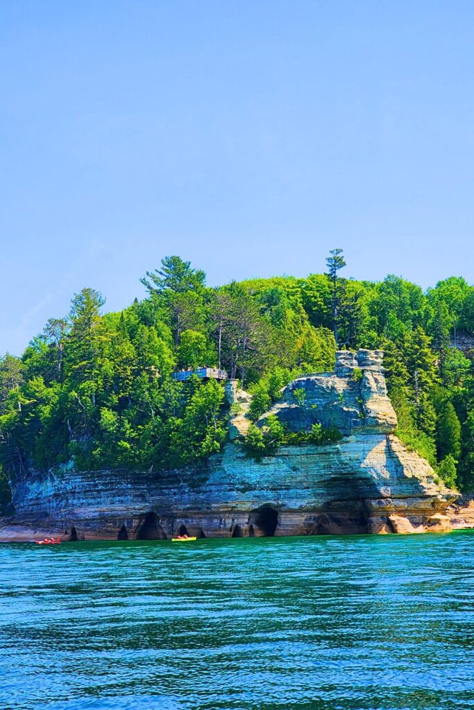
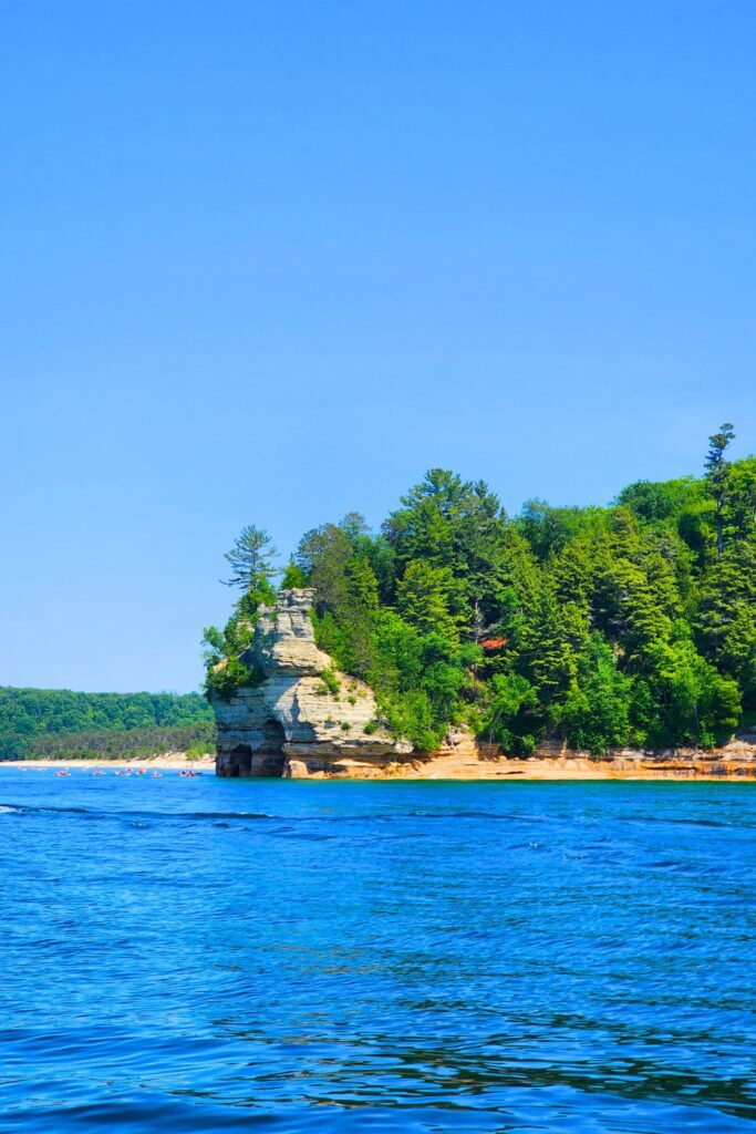
- Visit Miners Castle: One of the park’s most iconic rock formations. Easily accessible with scenic overlooks.
- Explore Grand Sable Dunes: Towering sand dunes with views stretching over Lake Superior. A peaceful, lesser-visited spot near Grand Marais.
- Swim at Sand Point Beach: A calm, shallow beach with warm water in the summer months, perfect for families.
- Mosquito Beach & Falls Hike: A more adventurous hike with waterfall views and access to unique rock formations.
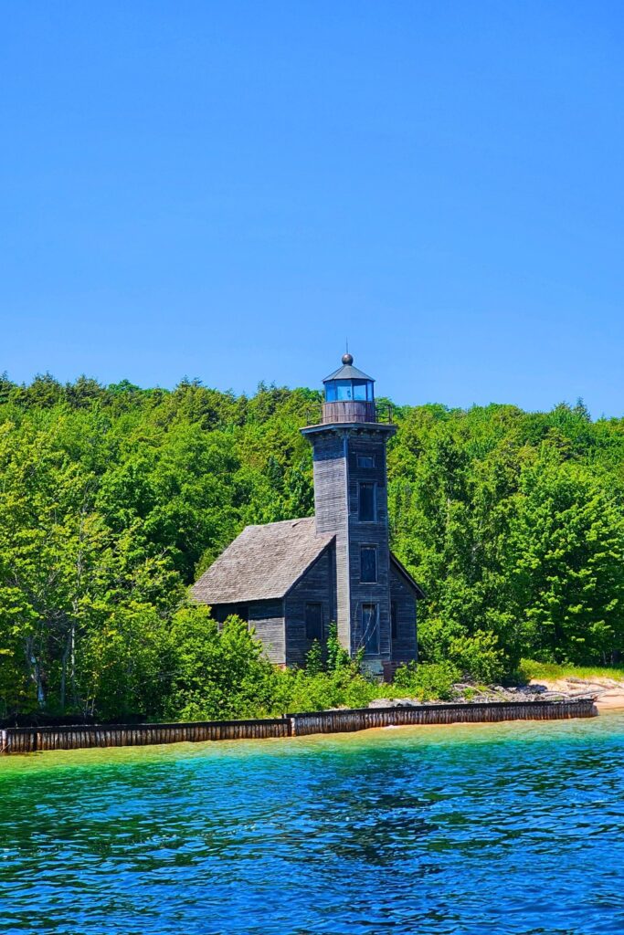
- Visit Au Sable Light Station: Hike a scenic 3-mile round-trip trail to this remote and historic lighthouse.
- Snowshoe or Cross-Country Ski in Winter: Explore the snow-covered landscape in peace and solitude.
5 Hidden Gems
- Chapel Beach Waterfall – A lesser-known beach waterfall that flows right into Lake Superior.
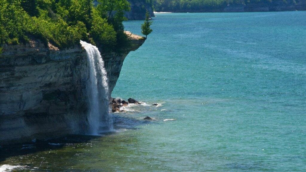
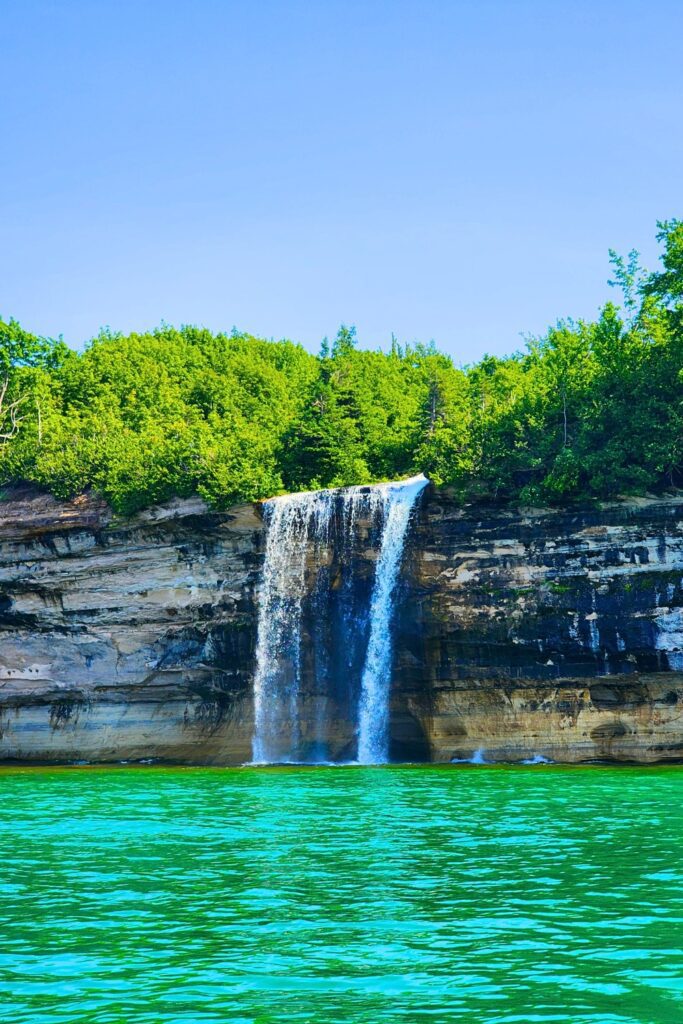
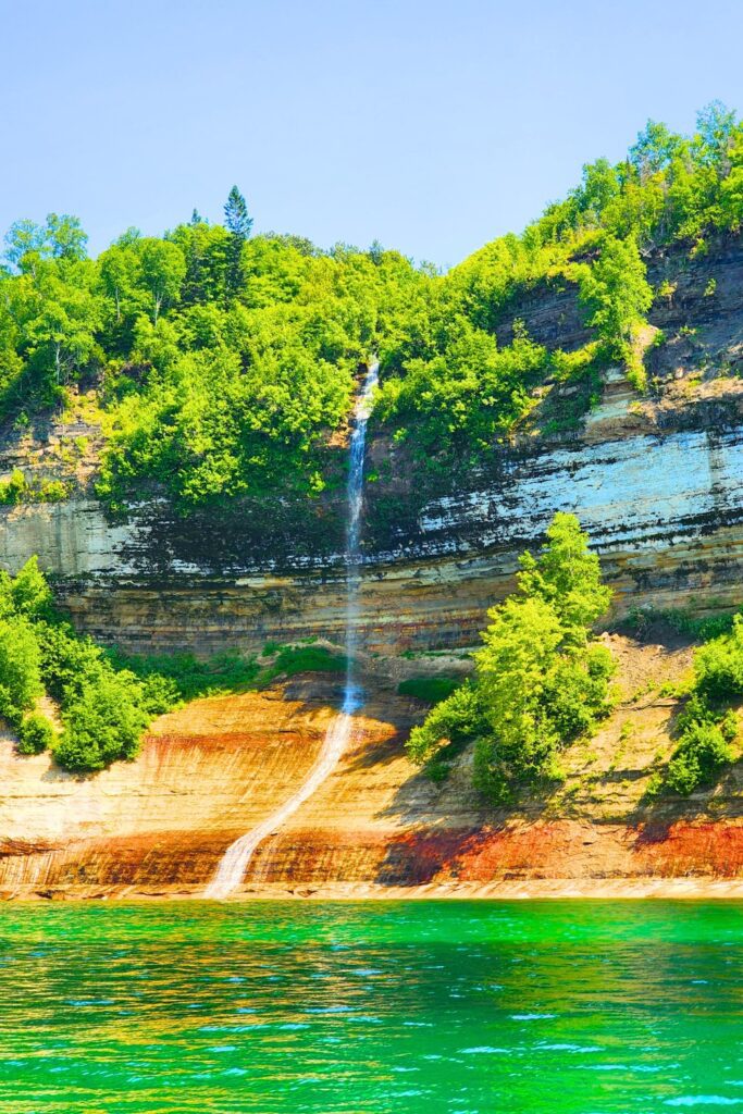
- Spray Falls – A dramatic waterfall plunging 70 feet off a cliff into the lake. Best viewed via kayak or boat.
- Mosquito Beach Rock Ledges – Unique, flat rock shelves great for photos and solitude.
- Beaver Lake and Beaver Creek – Remote, peaceful spots for wildlife viewing and backcountry camping.
- Twelvemile Beach – A quiet stretch of coastline ideal for sunrise walks and secluded picnics.
1–5 Day Sample Itinerary
Day 1: Arrival + Easy Exploration
- Check into Munising
- Visit Munising Falls and Sand Point Beach
- Sunset at Miners Castle overlook
Day 2: Classic Adventures
- Morning Pictured Rocks boat tour
- Afternoon hike to Miners Falls and Miners Beach
- Dinner in Munising
Day 3: Day Hike + Waterfalls
- Hike the Chapel Loop Trail (bring lunch/snacks)
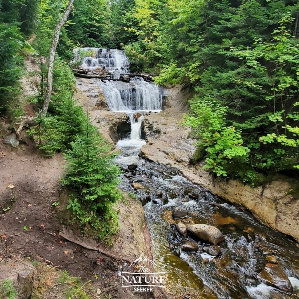
- Visit Wagner Falls or Alger Falls before dinner
Day 4: Hidden Spots + Relaxation
- Drive to Grand Marais
- Hike the Grand Sable Dunes Trail
- Tour Au Sable Light Station
- Explore the beach at Twelvemile
Day 5: Kayak or Scenic Drive + Departure
- Optional morning kayak tour (if weather allows)
- Take H-58 scenic drive back toward Munising
- Depart in the afternoon
Packing List
You can get a majority of the items on this list from my Amazon gear store:
- Sturdy hiking boots or trail shoes
- Daypack with hydration system
- Bug spray (mosquitoes can be intense in summer)
- Layers (weather can change quickly near the lake)
- Swimsuit and towel
- Sunscreen and sunglasses
- Waterproof gear (especially if kayaking)
- Camera or binoculars for wildlife viewing
- Snacks and lunch for longer hikes
- National Park Pass (or America the Beautiful Pass for multiple parks) or entry fee funds
Where to Stay
View hotel options around Pictured Rocks
Things to Know Before You Go
- Cell Signal is Limited: Download maps and trail info ahead of time.
- Weather Can Be Unpredictable: Lake Superior creates sudden changes. Always check the forecast.
- Trail Conditions Vary: Some trails may be muddy, washed out, or buggy, especially in spring and early summer.
- Pets Are Limited: Not all trails allow dogs. Check the NPS site for pet-friendly options.
- Book in Advance: Lodging, kayak tours, and boat cruises fill up quickly in peak season (boat rental options).
Related
Final Thoughts
Pictured Rocks Michigan is a place where you can truly disconnect and reconnect with nature. Whether you’re standing beneath a towering waterfall, kayaking into a hidden cave, or simply gazing out over the turquoise expanse of Lake Superior, the park’s raw beauty leaves a lasting impression. It is easily a top destination to put on your list when visiting the Upper Peninsula. With this guide, you’re ready to discover Michigan’s most iconic slice of shoreline and make your first visit one to remember.

Wow, this article is nothing but drivel and lacking in any meaningful information about this area.
Anybody who would state that H58 is a boring drive should not be writing articles on the area. Your sad opinion didn’t truly mention anything worth doing in this magnificent region, but somehow flying through the area makes you an expert? Seriously? Try writing about it once you’ve had a chance to do more than scratch the surface and glance up from your phone once in a while.
You think you should leave that short-sightedness in some written format (gag) for others? How arrogant to think that your half-day spent blowing through the area makes you some kind of an authority and that anybody cares what you think after that. Full of yourself, much? Or just desperate to see your name out there somewhere?
Speaking from the standpoint of somebody who knows the entire area front to back, in light and darkness, and in three seasons, I wonder if you believe your own drivel. Maybe pull your head up from your phone long enough to look around, see the magnificence, and try to think for yourself. Yeesh.
Hi Myrna thanks for sharing this “passionate comment”. While I appreciate you taking the time to read the article and write this, keep in mind that everyone has a right to share their opinions on these places and in my case, I found the drive to boring (for example, see my list of the best scenic drives in North America). If you still have an issue with that, then perhaps you are living too much of a cozy life to spend time trying to put others down like this.
Hey Vitaliy,
Thank you for sharing your post on the Pictured Rocks National Lakeshore!
I have never been there nor have I heard it before, but it seems like somewhere I would love to visit someday. My wife and I travel a lot and always down for new adventures. If we do visit, as you recommended we will definitely plan it out and bring a GPS. I wanted to ask, what is your favorite part?
In Pictured Rocks? I’d say the long trail which takes you through to Spray Falls, Chapel Rock and the other parts of this park. I consider those gems the heart of it and this 1 trail gives you the ability to see all of them up close.
It looks like a wonderful place to visit, and even greater for adventure lovers. Poor internet connection is a big turn off for me, but I guess thats a good thing as it will minimize your distractions so you can enjoy the park more. What do you think is the best time of year to visit the park? Hope to hear from you, and Thanks for sharing.
Every season presents its advantages. During spring and summer, you’ll likely see the most green (and also the most crowds). Fall time would present cold weather but also specacular autumn colors and winter time is also a good time to go, but presents the most limitations as the winter season in this area of the US is usually very intense and many roads are often closed off.
Thank you for such a thorough article on Pictured Rocks National Lakeshore! I have always wanted to head up that way and check out the area and this gives me a great itinerary for a few days to really explore and get the most out of my trip. Thank you!
You can easily spend a week in this park and the surrounding areas Daniel.