Black Canyon of the Gunnison National Park: 1st Time Visitor Guide
Rugged, remote, and dramatic, Black Canyon of the Gunnison National Park in western Colorado offers an awe-inspiring experience unlike any other U.S. national park. With its sheer cliff walls and narrow, plunging gorge carved by the Gunnison River, this underrated gem is perfect for those seeking solitude, challenging hikes, and unforgettable views. Whether you want to hike, drive scenic roads, or simply take in the raw beauty, this guide is your starting point.
Overview
Black Canyon of the Gunnison is known for its steepest cliffs, oldest rock, and one of the most dramatic canyons in North America. The park is divided into two main rims:
- South Rim, which is more accessible and developed
- North Rim, which is more remote and quieter.
Info
-
Location: Western Colorado, near Montrose
-
Established: National Monument in 1933, National Park in 1999
-
Highlights: Gunnison Point, Painted Wall, dramatic overlooks, remote hiking trails
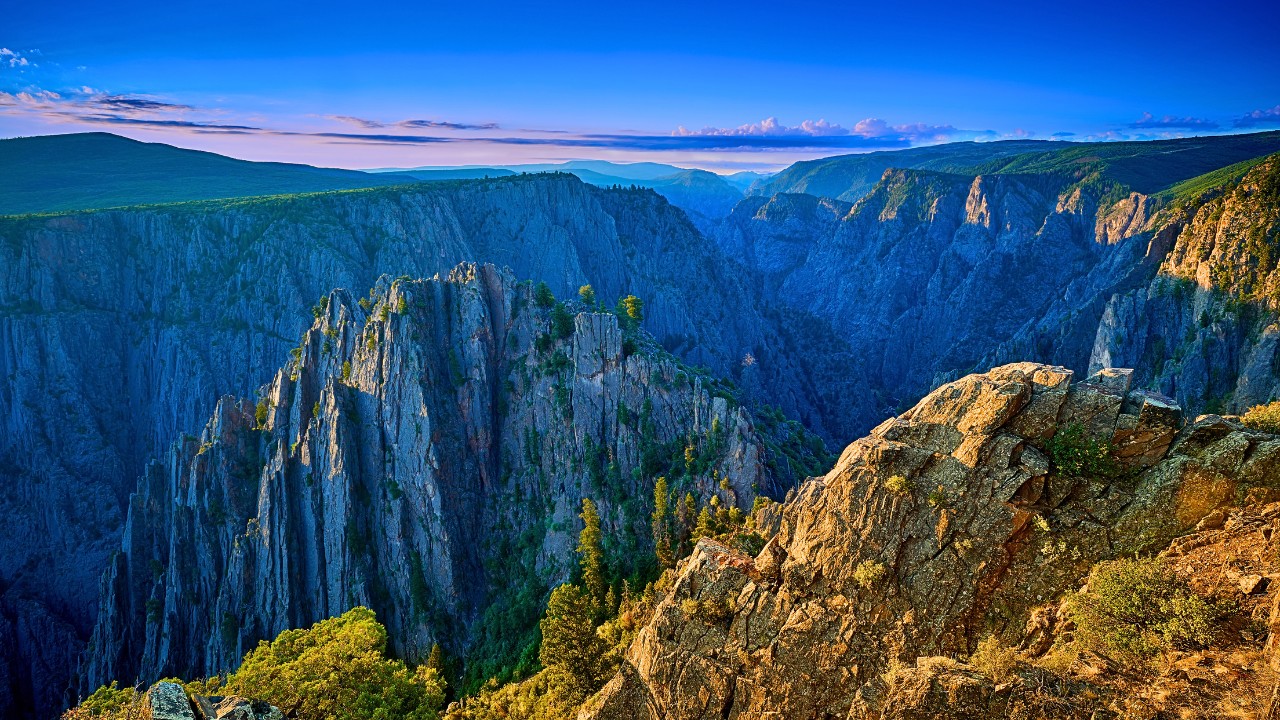
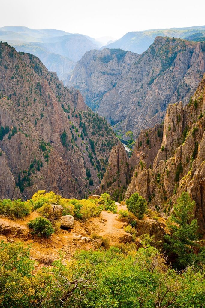
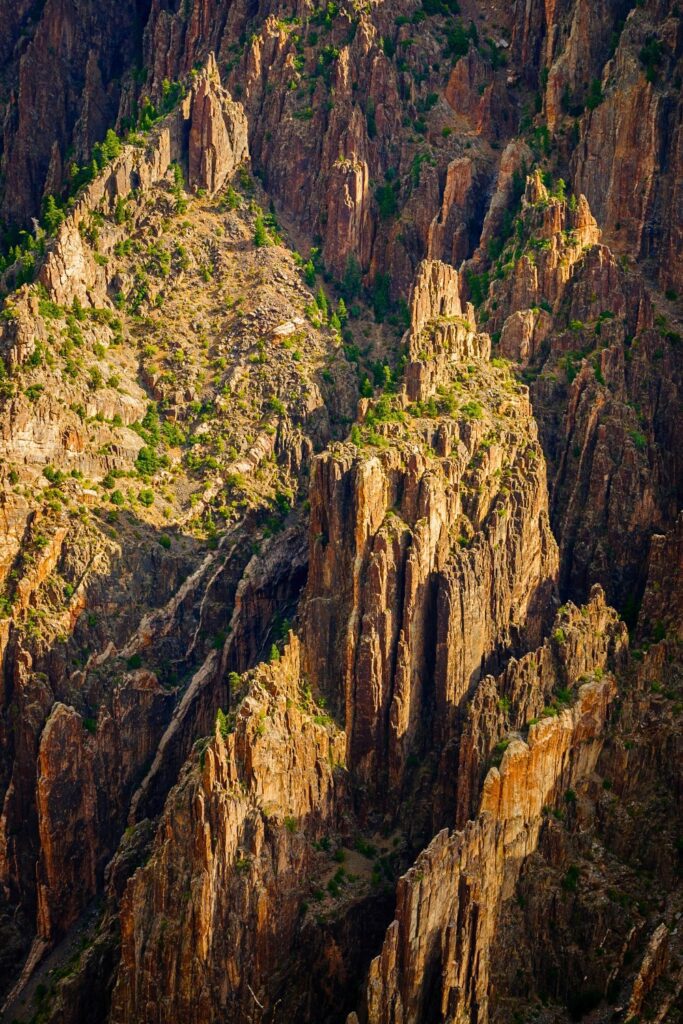
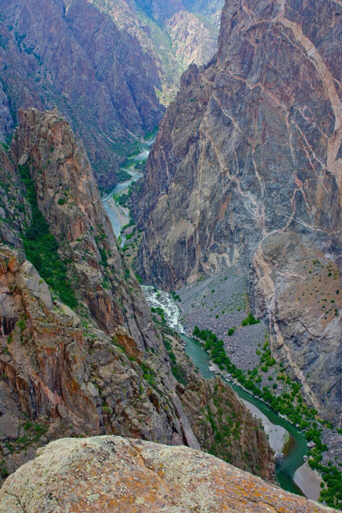
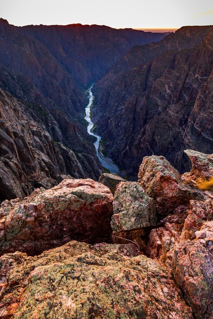
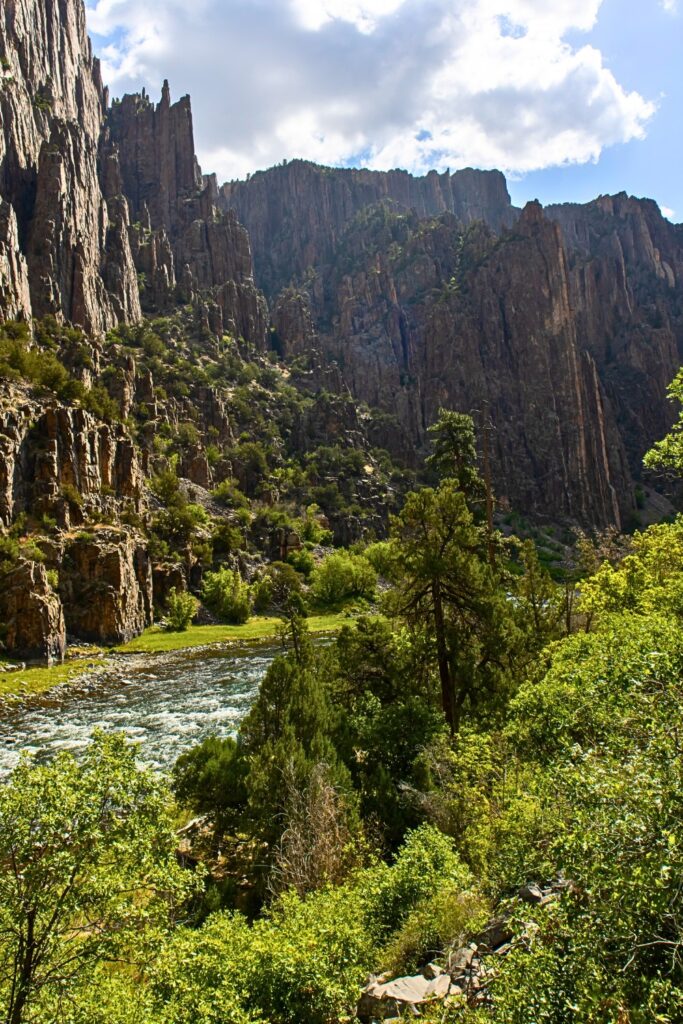
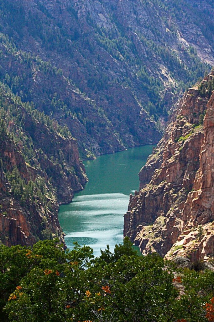
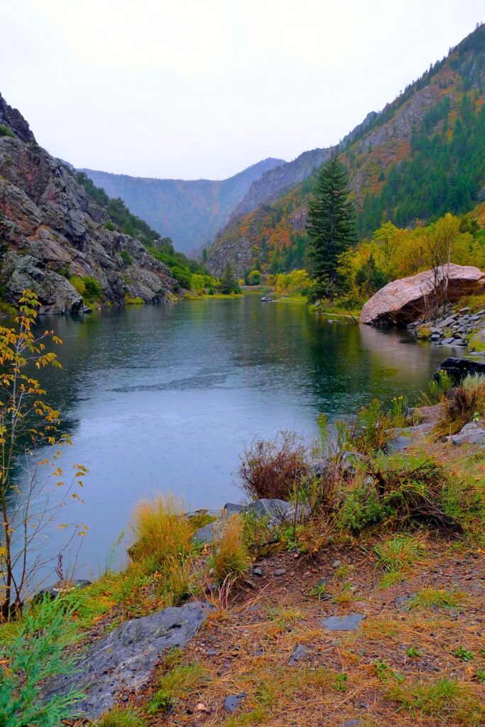
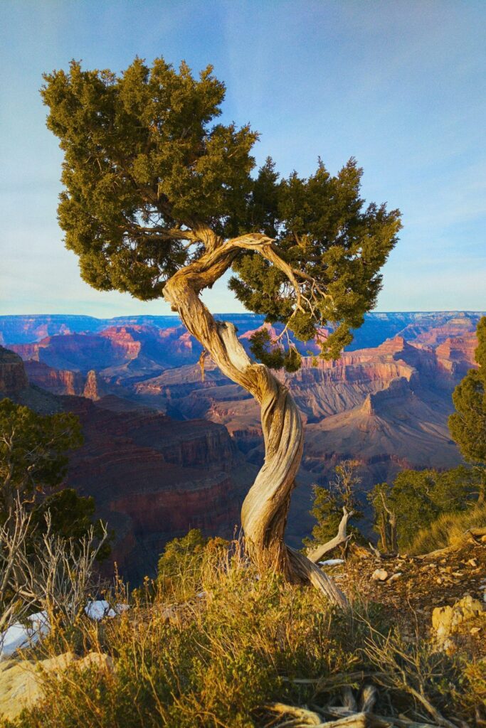
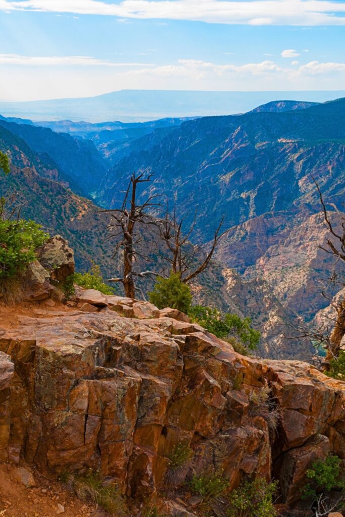
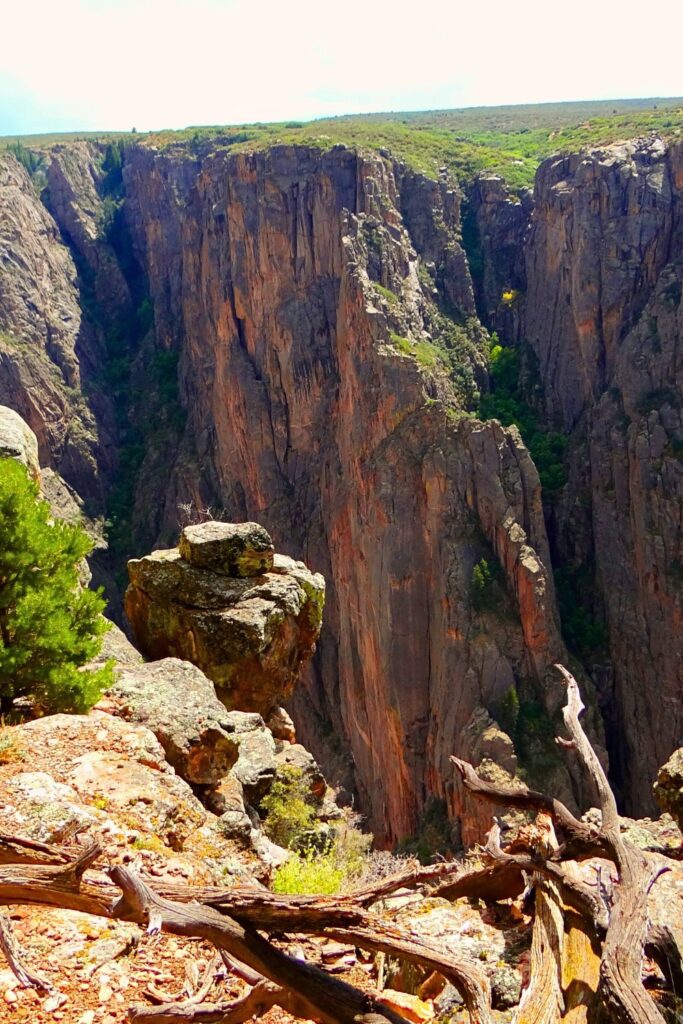
Photos:
How to Get There
-
From Montrose, CO (to South Rim): About 15 miles east via U.S. Highway 50 and CO Hwy 347
-
From Crawford, CO (to North Rim): Around 11 miles via CO Hwy 92 and unpaved North Rim Road
-
Nearest Airports: Montrose Regional Airport (MTJ), Grand Junction Regional Airport (GJT)
Note: There is no road connecting the South and North Rims through the park, you’ll need to drive around the canyon (approx. 2-3 hours).
Best Times to Visit
-
Spring (April–May): Fewer crowds, mild temps, wildflowers
-
Summer (June–August): Warmest and busiest season, ideal for scenic drives and camping
-
Fall (September–October): Crisp air, colorful foliage, excellent photography conditions
-
Winter (November–March): Quiet, limited access, good for snowshoeing (South Rim only)
10 Best Things to Do
-
Drive the South Rim Road – 12 scenic overlooks including Painted Wall and Chasm View
-
Stop at Gunnison Point Overlook – Near the visitor center, unforgettable views
-
Hike the Warner Point Nature Trail – Short, easy, and great for families
-
Photograph the Painted Wall – Tallest cliff in Colorado at 2,250 feet
-
Explore the North Rim – Quieter with rugged trails and wild views
-
Take the East Portal Road (seasonal) – Steep drive to the Gunnison River
-
Go Stargazing – A certified International Dark Sky Park
-
Try Rock Climbing (Advanced) – For experienced climbers only
-
Camp at South or North Rim Campgrounds – Peaceful and scenic sites
-
Visit in Fall for the Colors – Cottonwoods and scrub oaks light up the canyon
- Bonus: See top visitor recommendations
Best Hikes (Beginner–Advanced)
Beginner:
-
Rim Rock Nature Trail (1 mile RT) – Easy trail with views and educational signs
-
Gunnison Point Trail (0.6 miles RT) – Short path near the visitor center
Moderate:
-
Oak Flat Loop Trail (2 miles RT) – Slight elevation change, great for canyon views
-
Warner Point Nature Trail (1.5 miles RT) – Ideal combo of scenery and serenity
Advanced:
-
North Vista Trail to Exclamation Point (3 miles RT) – Big payoff, moderate distance
-
Green Mountain Trail (6.5 miles RT) – Forests and panoramic views
-
Inner Canyon Routes (permit required) – Unmaintained routes to the river like the Gunnison Route, SOB Draw, and Devil’s Backbone, steep, rugged, and for experienced hikers only
5 Hidden Gems
-
Devil’s Lookout (North Rim): Harder to reach, but fewer visitors and unforgettable views
-
East Portal: A drive to the canyon bottom not many visitors take, great for river access and solitude
-
Tomichi Point at Sunrise: Often overlooked, this spot glows beautifully in the morning light
-
Cedar Point Nature Trail: Educational and scenic with Painted Wall views
-
Scenic Byway 92 (near North Rim): Great detour with lake and mountain views
1–5 Day Sample Itinerary
Day 1:
-
Arrive at South Rim
-
Stop by the Visitor Center
-
Drive the South Rim Road
-
Short hike on Rim Rock Trail
-
Camp or stay in Montrose
Day 2:
-
Hike Oak Flat or Warner Point
-
Lunch with a view at Painted Wall
-
Stargazing at Pulpit Rock or campground
Day 3:
-
Drive to East Portal (if open)
-
Picnic by the river
-
Explore more overlooks
-
Optional: Start drive to North Rim
Day 4:
-
North Rim hikes: North Vista Trail to Exclamation Point
-
Visit remote overlooks
-
Enjoy sunset at Kneeling Camel View
Day 5:
-
Early morning photography
-
Pack up and stop at Scenic Byway 92
-
Depart via Grand Junction or Montrose
Packing List
- My Amazon gear list
-
Sturdy hiking shoes or boots
-
Refillable water bottle or hydration pack
-
Layered clothing (temps can swing wildly)
-
Sunscreen and sunglasses
-
National Park Pass or entrance fee
-
Binoculars (for spotting birds and distant cliffs)
-
Flashlight or headlamp (for stargazing)
-
Camera with wide-angle lens
-
Food/snacks (services are limited inside the park)
-
Hiking poles for steep trails
Where to Stay
Inside the Park:
-
South Rim Campground: Best for RVs and tents, near visitor center
-
North Rim Campground: More secluded, first-come, first-served
-
East Portal Campground: Seasonal access, at river level
Outside the Park: See best hotel deals
Things to Know Before You Go
-
Cell service is limited – Download maps in advance
-
Pets are allowed on paved roads and campgrounds, but not on most trails
-
Permits required for all inner-canyon hikes (even day trips)
-
Weather can change quickly – Prepare for sun, wind, and even snow depending on season
-
No shuttle system – You’ll need your own vehicle to get around
Final Thoughts
Black Canyon of the Gunnison National Park is an untamed and unforgettable destination. It’s less crowded than other Colorado parks (like Rocky Mountain National Park), making it a great spot for reflection, photography, and getting off the beaten path. Whether you’re marveling at vertical cliffs from the rim or challenging yourself on an inner canyon route, this park will leave you breathless, in the best way possible.